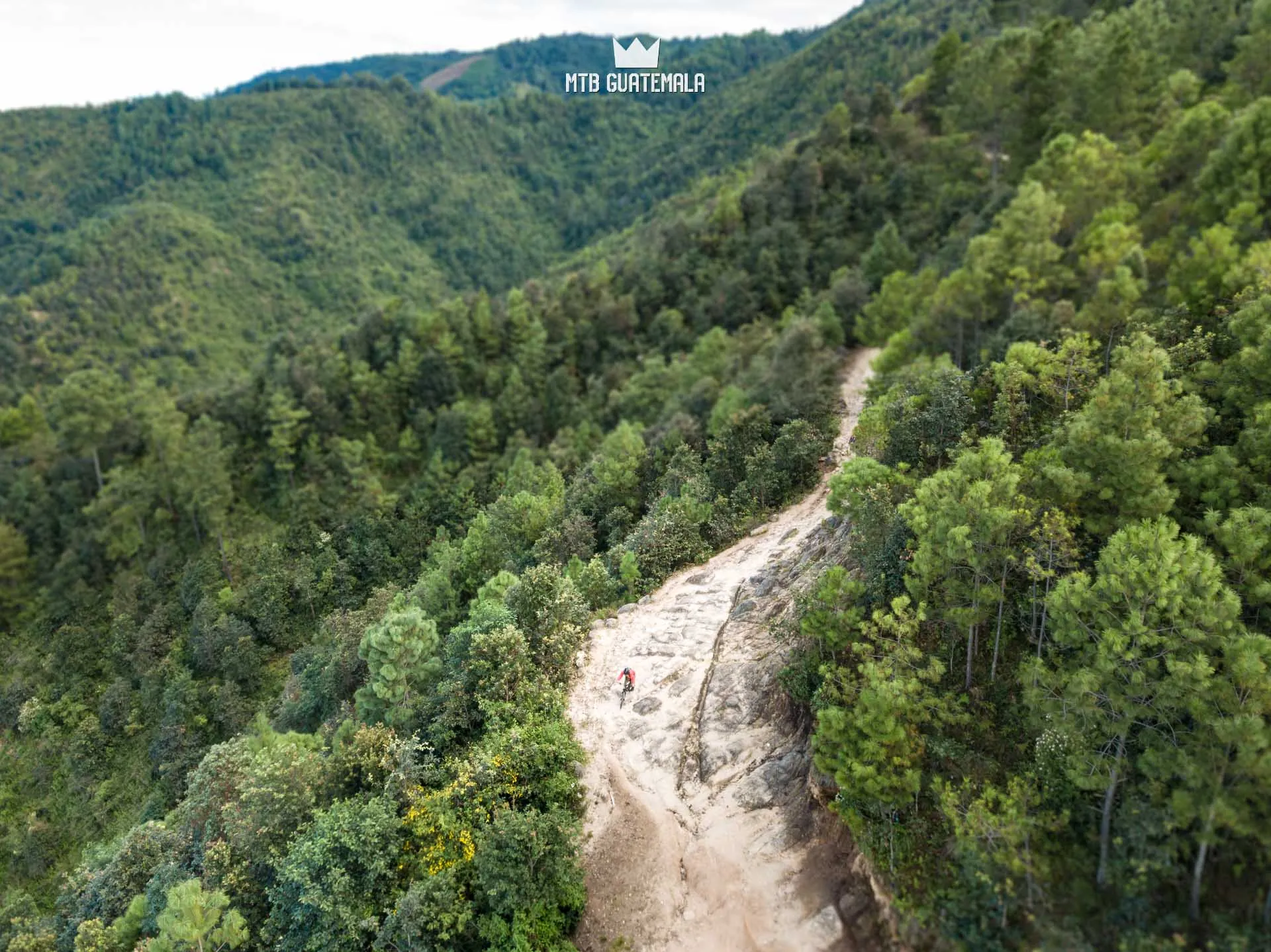
Guatemalan Highland Tour
USD /pp
Our 7 day Guatemalan highland mountain bike tour is a one-of-kind introduction to the country and it’s amazing riding. Experience a grand point-to-point tour of Guatemala's highlands on a mountain bike trip that goes beyond the tourism map.
Dates: July 11-19, 2026, March 14-22, 2027
Riding Type: Cross Country
TECHNICAL
FITNESS
- Duration: 9 Days (6 Days Riding)
- Level: Advanced — 5+ years mountain biking experience. Please contact us if you are in doubt of your ability.
- Distance 54 km 34 mi
- Total Ascent 2,279 m 7,477 ft
- Total Descent 3,636 m 11,929 ft
- Riding Time 7 days
- Difficulty Advanced
- Duration 9 Days (6 Days Riding)
- High Point 3,076 m 10,092 ft
- Modality Cross Country
- Category Multi-Day Tours
- Category 7+ Day Tours
Confirmed Group Departures
Join an open group and ride for less.
One of the best kept secrets in all the Americas: Guatemala is a mountain bike paradise home to incredible terrain, climate and culture. This 7 day itinerary follows old agricultural and trading routes of the Maya connecting the best sights in the country. The riding is technical and raw -unlike anything you'll find in the northern hemisphere.
Get ready to see Guatemala like few do.
Highlights
- Connect the best trails and sights in the country with a unique multi-day route
- Shuttle Assisted - nearly twice the downhill and over 28,000ft of descent!
- 90% off-road and singletrack
- Visit the Mayan ruins of Ixcimché and Q'umarkaj
- Views of Active Volcanoes
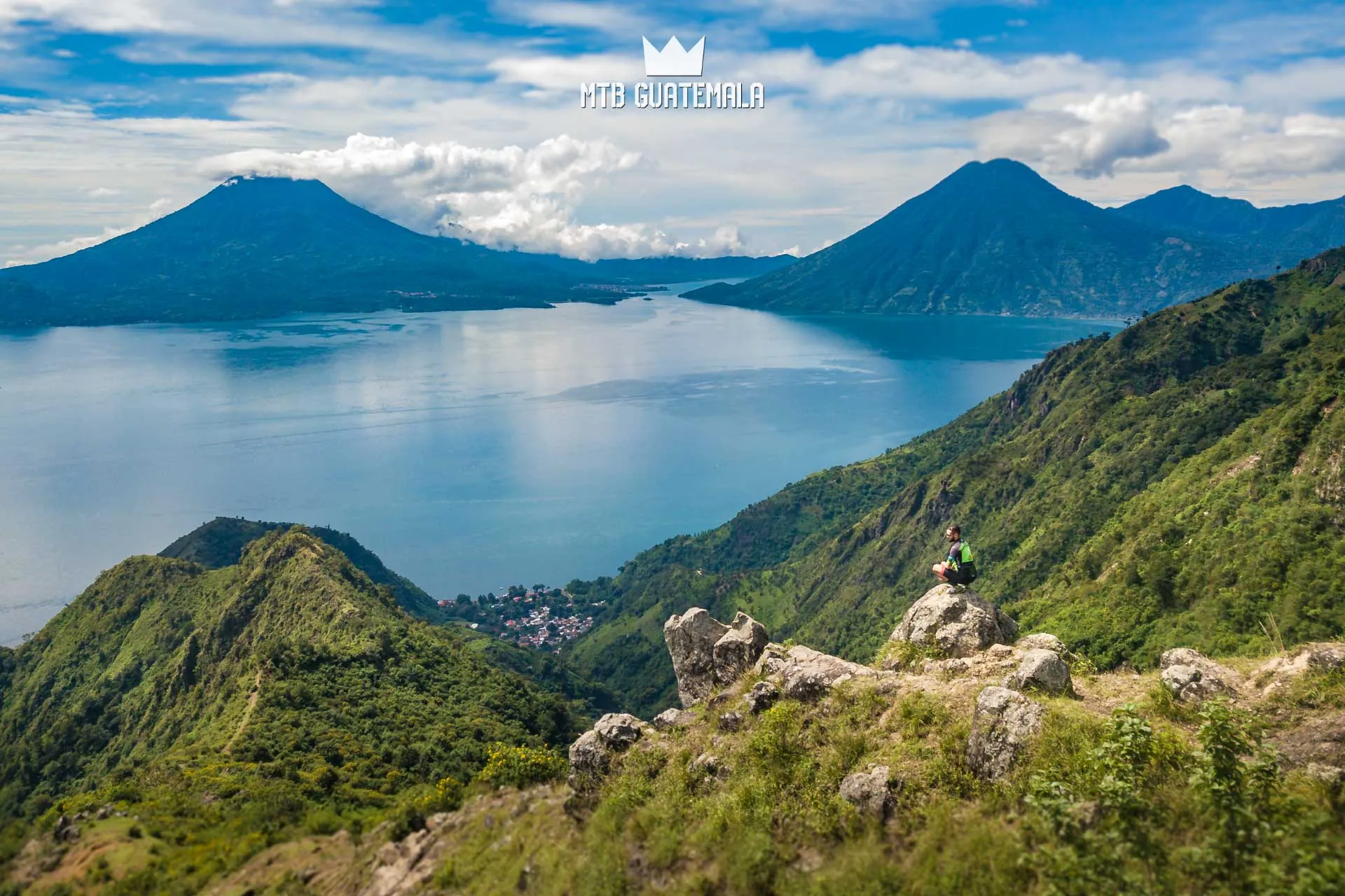
- See Lake Atitlán for the first time from the saddle of your bike
- Stay in unique and tranquil eco-hotels
- Soak in volcanic hot springs
8 nights
6 Riding Days
2 Rest Days
A word from the Guide
After years of riding, guiding and exploring in Guatemala I dreamed up the idea of a point-to-point tour of the highlands connecting a variety of sights and regions. This route is as varied as Guatemala itself – with sandy volcanic descents, rocky, high and dry pines and rich tropical forests.
Riding a bike in Guatemala gives you a unique perspective to connect Mayan sights while riding ancient Mayan infrastructure on trails and footpaths.
This route crosses the chain of Guatemala’s highest volcanoes and through several distinct regions dipping into Quiché and Chichicastingango before passing through Quetzaltenango and finishing with rest day at Lake Atitlán.
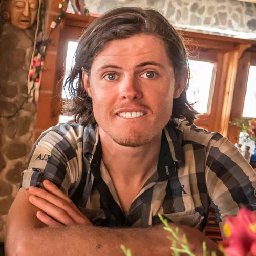
Brendan James
Tour Details
Sights On This Tour

Summer 2026
Spring 2027
Interested in a private tour or another date?
Have your own group or are interested in organizing a custom tour like this one?
Guatemalan Highland Tour - Full Itinerary
| Spring | Notes | Hotel | Meals |
|---|---|---|---|
| Day 1 Friday | Arrival | Antigua | |
| Day 2 Saturday | Antigua Day Ride | Tecpán | B, L, D |
| Day 3 Sunday | Tecpan Day Ride Mayan Ruins of Iximché | Tecpán | B,L,D |
| Day 4 Monday | Totonicapán - Quiché | Momostenango | B,L |
| Day 5 Tuesday | Cerro Quemado / Zunil Hot Springs | Zunil | B,L |
| Day 6 Wednesday | Lake Atitlán | Jaibalito | B,L |
| Day 7 Thursday | Rest Day / Optional Kayaking | Jaibalito | B,L,D |
| Day 8 Friday | Lake Atitlan to Tecpán | Tecpán | B |
| Day 9 Saturday | Return | n/a | B |
What are you waiting for?
 Reserve Now
 Chat With Us
Day 0 (Friday)
Welcome to Guatemala! We are available to a organize private car to pick you up at the airport - delivering you to our guesthouse in Antigua. Our bike shop can assist you with assembly of your bike / last minute repairs before the big week.
We will be doing a optional cultural ride in the afternoon for those that arrive early - sharing a few local trails allowing you to become acquainted with our beautiful city. In the evening there will be welcome dinner where we will go over all the awesomeness to come.
Day 1 (Saturday)
True to its name, "La Antigua" is a UNESCO world heritage site with loads of history to explore. The city was largely destroyed by an earthquake in 1773, but its principal monuments are still preserved as ruins. Today, we will ride through coffee and fruit plantations with a shuttle-assisted itinerary that showcases the best of the valley.
| Distance | Ascent | Descent | Max Altitude |
|---|---|---|---|
| 29.47km 18.31mi | 6,91m 2,268ft | -2,122m -6,962ft | 2,529m 8,298ft |
Day 2 (Sunday)
Today we will hit the road - beginning our journey into the interior oft the country following a network of mayan and agricultural trails. We will start with a shuttle all the way up to 2500m below the Acatenango Volcano - the "top of the world" from here you can see 4 enormous volcanoes and across the country. We will drop down sandy singletrack pasing through small towns that make their living working the land - sewing and harvesting crops by hand and horse.
Connecting a spidery network of deeply erroded 1000 year old trails we will make our way to Tecpán crossing the canyons of Patzún and finishing at an eco lodge for the night.
Day 3 (Monday)
A region of spectacular beauty and a layered history Tecpán is a great starting point for our tour of the highlands. Home of cool pine forests, Mayan ruins and Swiss-inspired chalets the area has a ton of character. In the morning we will pay a visit to the Ruins of Ixcimché former Mayan metropolis destroyed in 1520 located at 2500m atop an isolated cliff. We will learn about the history of the place from a local guide and explore the 600 year old Mayan pyramids.
On the bikes we will start with a long climb to over 10,000ft on rough 4x4 roads through pine forests traversing Cerro Tecpán with grand views of Lake Atitlán and its 4 volcanoes. Today's Route is a remote one that connects several mountains and lakes and includes a picnic lunch. We will finish the day at a small log cabin chalet and restaurant in the mountains.
Tecpan-Chichoy
| Distance | Ascent | Descent | Max Altitude |
|---|---|---|---|
| 39.23 km (24.38 mi) | 1480 m (4,856 ft) | --1,309 m (-4,295 ft) | 3,021 m (9,912 ft) |
Day 4 (Tuesday)
The longest and highest day of the tour - today will climb to a unique alpine plateau with grand views of the Cuchumatánes mountains to the north. Near 11,000 ft you will see some of the rare alpine grassland environment in Guatemala with 360 degree views across the entire country.
Parcialidad Velasquez is the largest protected coniferous (pine) forests in Central America. The forest is home to thousands of small natural springs - an important water supply to the villages below. .The indigenous cantones of Totonicapán have banded together to protect the forest as a water source and the area is full of aqueducts and trails.
We will descend "la Culebra Quichélense" an ancient and technical trail that follows an aquaduct and slices through cliffs before dropping into the dry pine canyons of Quiché. In the forest are several Mayan religous sites and caves used to this day for fire ceremonies. We will finish in Santa Cruz del Quiché - a city the heart of the modern Mayan world.
Totonicapán - Culebra Quichélense
| Distance | Ascent | Descent | Max Altitude |
|---|---|---|---|
| 47.19 km (29.33 mi) | 1132 m (3,714 ft) | -2,429 m (-7,970 ft) | 3,301 m (10,831 ft) |
Dec 5 (Wednesday)
Today is an optional rest day. We will begin today with a short ride to the ruins of Q'umarkaj. Q'umarkaj was one of the most powerful Maya cities when the Spanish arrived in the region in the early 16th century. It was the capital of the K'iche' Maya in the Late Postclassic Period. From the ruins we will follow "el ruta de los escarabajos" - a local mountain bike club a.k.a "the beetles" - named after the ridiculously steep climbs in the region. We will follow active Mayan footpathsthrough steep canyons and ravines to the market town of Chichicastenango.
The route of Escarabajos Quiché!
| Distance | Ascent | Descent | Max Altitude |
|---|---|---|---|
| 12.60 km (7.83 mi) | 530 m (1,739 ft) | -505 m (-1,657 ft) | 2,052 m (6,733 ft) |
Our visit is timed with the weekly market in Chichicastenango- one of the largest indigenous markets in Central America famed for its vibrant textiles and artisanal crafts. We have the afternoon to walk the markets before busing to our next destination: Alaska.
At 3100m (10,170ft) La Cumbre Alaska is the highest point on the Pan-American highway between the United States and Mexico. From this spot you can see the chain of Guatemala's highest volcanoes.
We will drop the bikes for a quick downhill to the valley of Quetzaltenango for the night - descending the course of a local XC race through massive old growth pine trees finishing at our hotel for the night in the city.
Descenso Alaska
| Distance | Ascent | Descent | Max Altitude |
|---|---|---|---|
| 15.60 km (9.70 mi) | 340 m (1,116 ft) | 1,025 m (-3,363 ft) | 3,069 m (10,069 ft) |
Day 6 (Thursday)
Today we will ride to two volcanoes and see one of Guatemala’s newest and active volcanic creations: Volcán Santiaguito. In 1920 an enormous eruption rocked Santa Maria blowing off the southern side of the muntain, and a volcanic cone has been growing ever since.
Heading out of Xela in the morning climb EL Baul Park with a beautiful views of the city - descending from the cross we will connect some of the many mountain bike trails in the park.
A 4km climb will bring us to the town of Cantón CHICUÁ home of Cerro Quemado: our first volcano of the day. This extinct volcanic cone is home to an enormous lava field and many religious sites. Pilgrims come from all over to worship on the burned mountain. We will cross colorful fields of flowers grown for the offerings before descending a rough and loose singletrack.
Xela - Cerro Quemado
| Distance | Ascent | Descent | Max Altitude |
|---|---|---|---|
| 20.40 km (12.68 mi) | 1137 m (3,730 ft) | -961 (-3,153 ft) | 2,706 m (8,878 ft) |
We meet up with the van for a brief shuttle along the flanks of Volcano Santa Maria packing our lunches before heading to the Santiago Mirador through pastures and cow paths. There we will have lunch at the mirador overlooking the active volcano before snaking back around the mountain to catch some of the singletrack below santa maria. Then we will descend down to Zunil (over 1000m of DH) on steep dirt and jeep track.
Shuttle to the Fuentes Georgianas - hot springs and hotel for the night.
Mirador de Volcán Santiaguito
| Distance | Ascent | Descent | Max Altitude |
|---|---|---|---|
| 18.21 km (11.32 mi) | 423 m (1,388 ft) | -1,311 m (-4,301 ft) | 2,850 m (9,351 ft) |
Day 8 (Friday)
Our seventh and final day on the bikes we'll cut out the climbing with a shuttle high above Lake Atitlán. We will follow soft, pine forested logging roads down to the town of Santa Clara on the western side of the lake. For the hearty we will make the technical descent the final 800m down rough mayan trails finishing at Mayachik an eco resort and yoga retreat for the night.
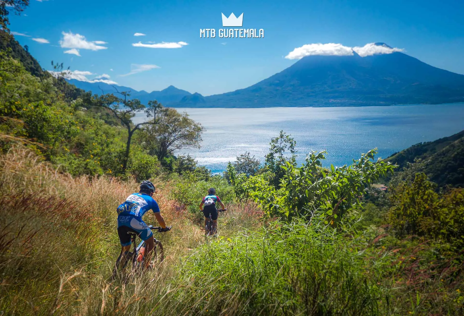
Ixtahuacán - San Juan La Laguna
| Distance | Ascent | Descent | Max Altitude |
|---|---|---|---|
| 23.00 km (14.29 mi) | 653 m (2,142 ft) | -1,513 m (-4,964 ft) | 2,586 m (8,485 ft) |
Day 8 (Saturday)
It is no coincidence that we finish the tour at one of the most beautiful lakes in the world. You earned it! Today you will have the chance to swim, visit local markets, kayak or simply hang out in the hammock and take in the view!
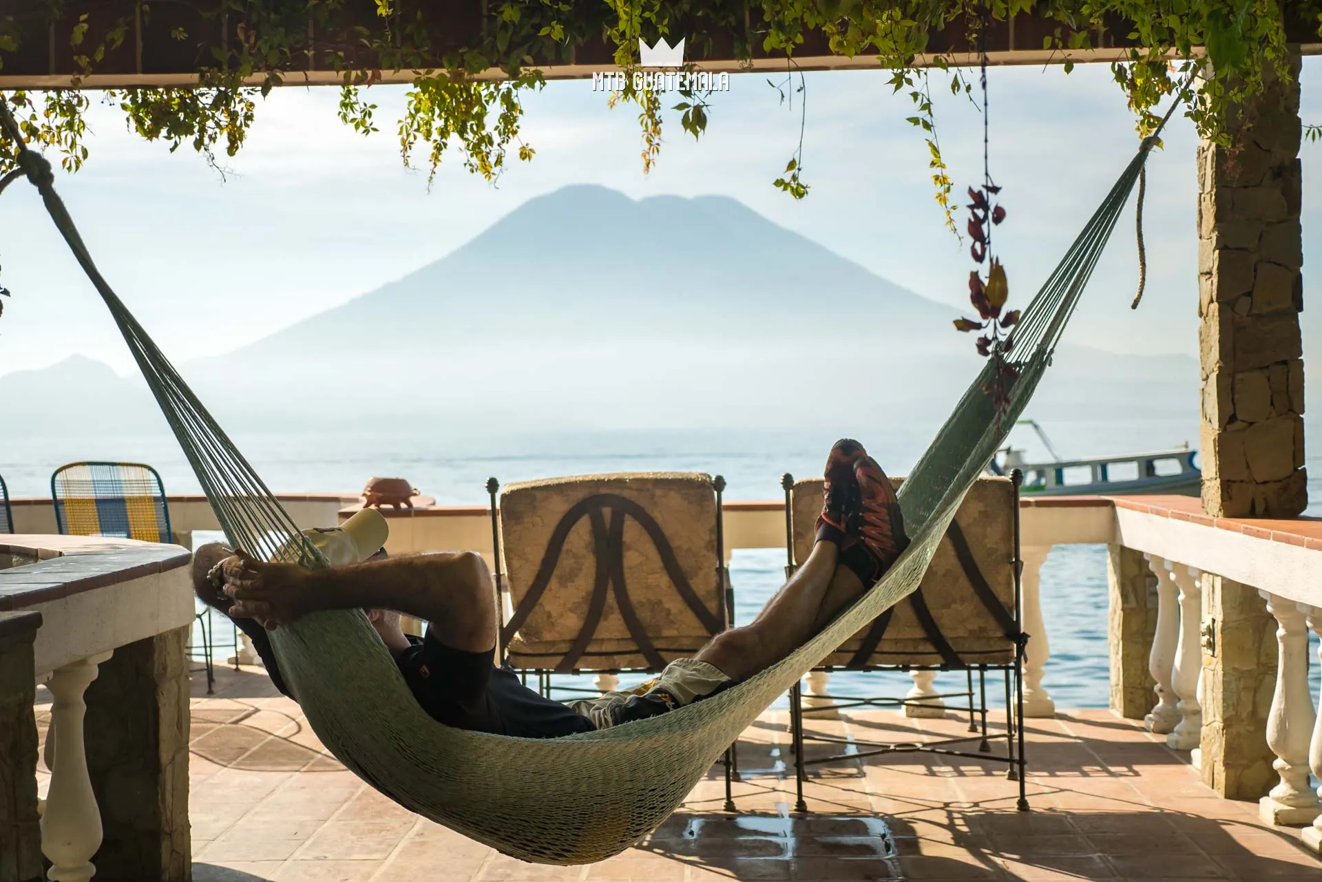
In the evening we will take a boat across the lake to Panajachel for a final meal before boarding the bus for the ride back to Antigua.
Bike Rentals available
What are you waiting for?
INCLUDED
- Airport Transfer
- Most Meals
- Accommodations
- 1:4 Staff
- Private shuttle and driver
- Bi-Lingual Mountain Bike Guides
- Fruits & Snacks
- Filtered water
- Park Entrances
- Private Drivers
- Vehicle and 4x4 Support
- Mechanical assistance
- Access to pro tool kit.
- Guides with Wilderness First Aid (WFR Certification)
- Picnic Lunches
- First-aid kit, two way radio Communication, Satellite locator
- Exclusive House / Cabin Rentals
- Pre-departure info package
- MTB G Swag
- Daily Bike Cleaning
NOT INCLUDED
- Bike Rental
- Airfare

FULL SHUTTLE SUPPORT
All of our multi-day trips include full shuttle support with 4x4 vehicles that follow us along the route with various meeting points throughout the day. The vehicles provide a base for your luggage, snacks and water and allow you to cut out sections of riding or take breaks if necessary!
Why Ride With Us?
The Mountain Bike Guatemala Difference
With years of experience riding, racing and exploring in Guatemala, all our routes are carefully designed and unique to our company.
REVIEWS
We are proud to have received over 300 Five star reviews! Here are a few:
Have a Question?
If you need any to chat on details of this tour – just reach out!
Chat
Call